Australian Continent Map
Australia, the world’s smallest continent and largest island known for its distinctive geography and ecosystems. It is the smallest of the seven continents but boasts a variety of landscapes, from arid deserts to lush rainforests.
The Australian continent features expansive outback regions, mountain ranges such as the Great Dividing Range, and notable geographic landmarks like Uluru and the Great Barrier Reef. Its diverse climate ranges from tropical in the north to temperate in the south, supporting a unique array of flora and fauna.
Australian Borders and Land Areas –
Australia is located entirely in the Southern Hemisphere and surrounded by vast oceans, making it the only continent that is also a single nation. Australia is bordered by the Indian Ocean to the west and the Pacific Ocean to the east.
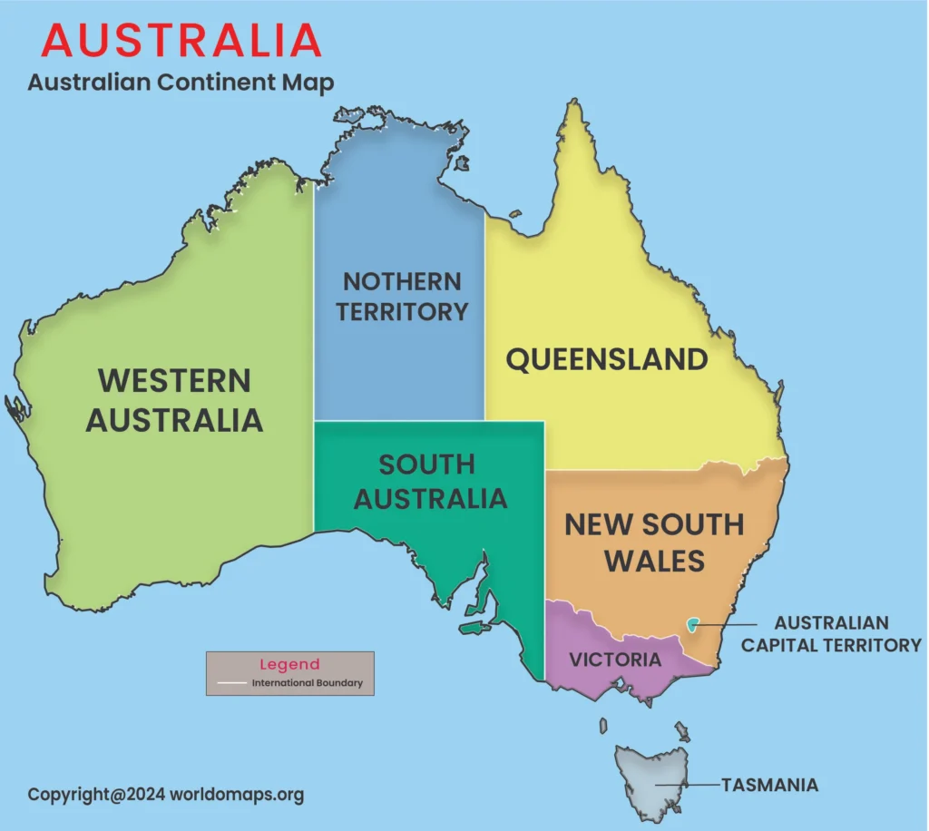
The continent also includes the island of Tasmania and several smaller islands. Its total land area is approximately 7.7 million square kilometers (2.97 million square miles), which constitutes about 5.9% of the world’s land area.
Australia’s Maritime Boundaries –
Australia’s extensive maritime boundaries are defined by several significant bodies of water:
- Indian Ocean: To the west, the Indian Ocean shapes Australia’s climate and plays a critical role in global trade routes, connecting it with Africa and Asia.
- Pacific Ocean: The Pacific Ocean lies to the east, encompassing the Coral Sea, known for its rich marine biodiversity, and the Tasman Sea, which separates Australia from New Zealand.
- Southern Ocean: South of the continent, the Southern Ocean’s cold currents influence the cooler climates of southern Australia and Tasmania, contributing to their temperate environments.
Distinct Geographical Regions
Australia is divided into several distinctive geographical regions, each with its own unique landscapes and climatic conditions:
- Western Australia: This region is characterized by its vast desert landscapes, including the Gibson and Great Sandy Deserts, and coastal areas with unique ecosystems such as the Ningaloo Reef.
- Central Australia: Known for its arid interior, Central Australia includes the iconic Uluru and Kata Tjuta rock formations, and is largely covered by the Outback.
- Eastern Australia: This region features the Great Dividing Range and lush rainforests in areas such as Queensland and New South Wales. It also includes major cities like Sydney and Brisbane, as well as the Great Barrier Reef.
- Southern Australia: This region includes temperate zones with fertile agricultural land and coastal cities such as Adelaide. It experiences a range of climates from Mediterranean to temperate.
- Tasmania: An island state south of the mainland, Tasmania is known for its rugged terrain, temperate rainforests, and unique wildlife.