State Map of Pakistan
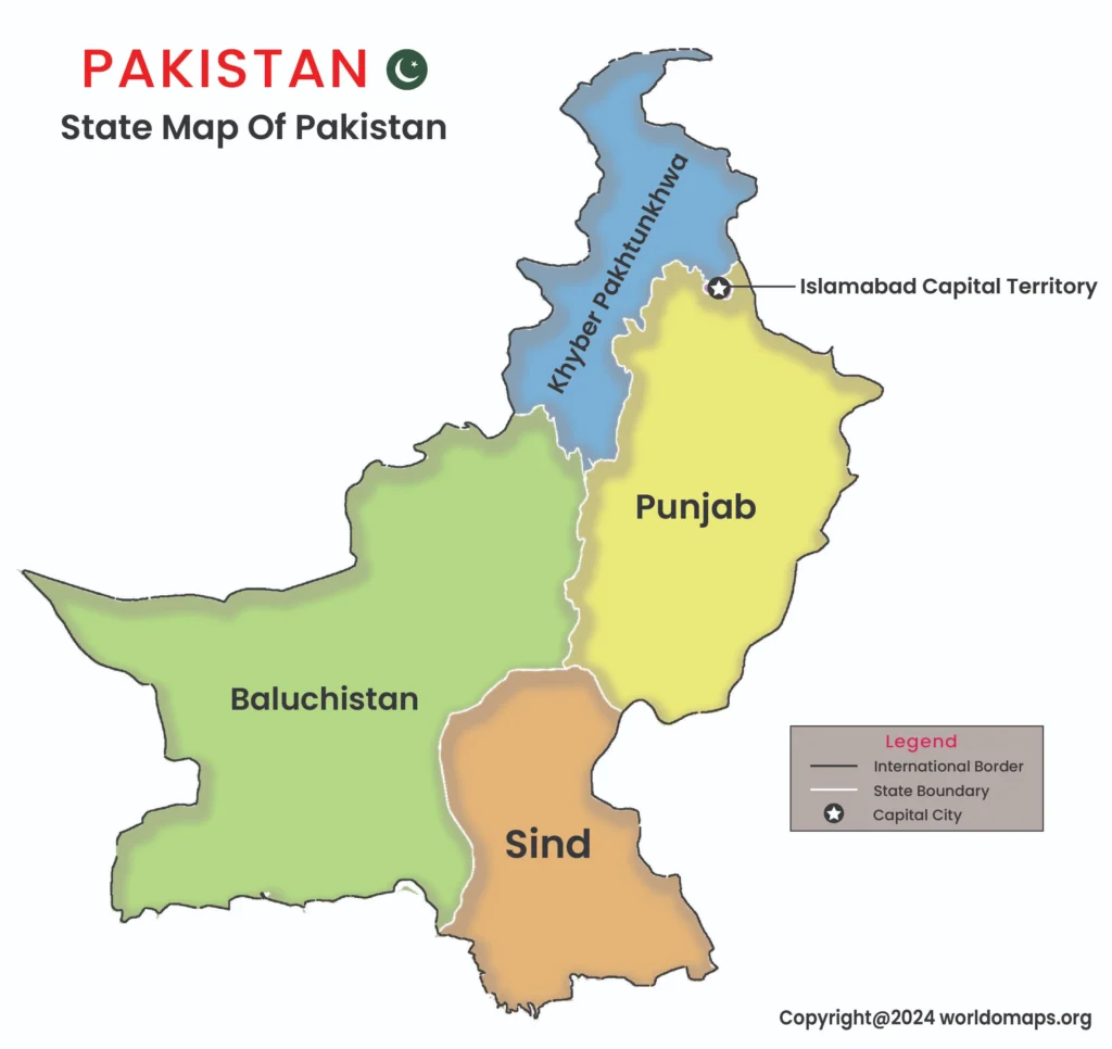
Pakistan is a diverse South Asian country, administratively divided into four provinces, two autonomous territories, and the federal territory of Islamabad. Each region represents unique cultural and geographical features, from the bustling cities to the scenic mountain landscapes. Islamabad, the capital city, serves as the political center, while Karachi is the largest city and an economic hub.
Major Provinces and Regional Significance:
- Punjab: The most populous province, Punjab is known for its fertile lands, historical cities like Lahore, and cultural heritage.
- Sindh: Home to Karachi, Sindh is significant for its coastline along the Arabian Sea and is a major center of trade and industry.
- Khyber Pakhtunkhwa (KP): Known for its mountainous terrain, KP is rich in natural beauty and has a strong cultural identity.
- Balochistan: The largest province by area, Balochistan is important for its mineral resources and strategic location along the coast.
List of Provinces in Pakistan:
This table includes the provinces of Pakistan, along with key details about their area, capitals, and major cities, providing a comprehensive overview of the country.
| No. | Province | Capital City | Area (sq. km) | Code | Major Cities |
|---|---|---|---|---|---|
| 1. | Punjab | Lahore | 205,344 | PB | Lahore, Faisalabad, Rawalpindi |
| 2. | Sindh | Karachi | 140,914 | SD | Karachi, Hyderabad, Sukkur |
| 3. | Khyber Pakhtunkhwa | Peshawar | 101,741 | KP | Peshawar, Abbottabad, Mardan |
| 4. | Balochistan | Quetta | 347,190 | BL | Quetta, Gwadar, Turbat |
| 5. | Islamabad Capital Territory | Islamabad | 906 | ICT | Islamabad |